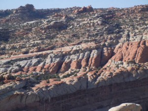
3 Jun: We drove through views of buttes, intricately eroded escarpments & pillars, and distant snow-capped mountains toward our next destination, Capitol Reef National Park. The campground in the park is first-come, first-served, and it fills early in the day, so we camped one night in a nearby RV park. Capitol Reef NP encompasses a nearly 100-mile-long monocline, or one-sided fold in the earth’s crust known as the Waterpocket Fold. A deep fault lifted the crust on the west side higher than the east side, bending but not fracturing the crust, then subsequent erosion removed some of the uplifted land. The remaining escarpment appeared as a formidable barrier to travel westward, reminding pioneers of an oceanic barrier reef. One of the upraised domes is reminiscent of the U.S. Capitol building.
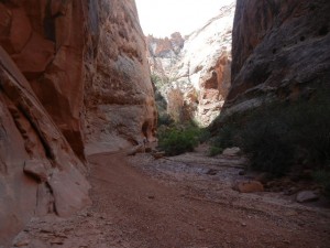
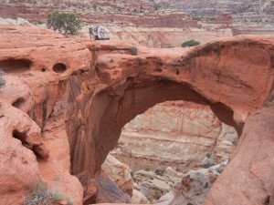
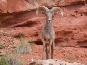
4 Jun: After moving to a campsite inside the park, we hiked up the Grand Wash and Cassidy Arch trails and back. Honeycomb weathering is common in parts of Capitol Reef, where some areas of the sandstone have been chemically weathered into intricate patterns of holes. Grand Wash is a dry riverbed (except during flash floods) between tall cliffs of sandstone. It is especially imposing in the section known as the Narrows. From the upper end of Grand Wash we hiked up out of the valley to the top of Cassidy Arch, where we has good views of the surrounding terrain. A small group of technical climbers was preparing to rappel down from the top of the arch. On the way back down Grand Wash we had a fine close look at a bighorn ram grazing beside the trail.
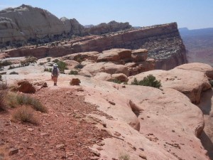
5 Jun: Today’s hike was about 4 to 4.7 miles one-way from the Fremont River valley floor to the summit of Navajo Knob and then back (trail signs gave conflicting distances). The 1,600 feet in elevation gain was so gentle and the footing was largely on smoothly eroded sandstone, that we hiked it easily in 6.75 hours (round trip, including lunch). Much of the trail was on very slightly tilted sandstone layers, and the views were excellent all the way. Wading in the river afterward felt great. Then we went to a ranger talk about the Fremont people, named by archaeologists after this Fremont River valley where they lived from about 300 to 1300. They carved petroglyphs into the rock faces and are thought to be the ancestors of the modern-day Hopi, Zuni, and Paiute tribes. Later, in the late 1800s, Mormon settlers moved into the valley, taking advantage of the good soil and water supply to establish farms. The town became known by its present name of Fruita, honoring the plentiful orchards planted by those settlers and still maintained today by the Park Service. The one-room log schoolhouse that educated the Mormon children until the early 1940s is one of the historical structures maintained in the park.
