Glacier National Park

20-23 July:  Glacier National Park in Montana consists of large sedimentary mountains that have been carved extensively by glaciation, which left behind bowl-shaped cirques, U-shaped valleys, jagged knife-edge ridges, and sharp peaks.  The large continental glaciers are long gone, but there are still remnant mountain glaciers clinging to the steep mountain walls high above the valleys.  The park has several long lakes filled with water of a vibrant turquoise blue color, due to the very fine-grained “glacial flour” suspended in the water flowing from the melting glaciers (as rocks trapped in a moving glacier scrape against the bedrock below, they produce a fine powder).  The steepness of the valley walls makes for some very scenic waterfalls, such as St. Mary Falls and Virginia Falls, which we hiked to on our first day in Glacier.  We had now been joined by a third “Old Fogies Outing Club” couple, Dick and Sonia, who would be traveling with Rob & Judith and us for the next three weeks in the Rocky Mountains of Montana, Alberta, and B.C.
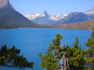
St. Mary Lake, Glacier National Park
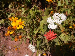
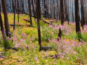
fireweed in an area recovering from a recent burn
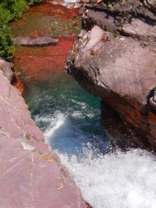
red white and blue waterfall
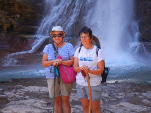
Sonia and Amy at Virginia Falls

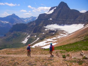
Amy and I had vacationed 40 years ago in Glacier Park, and we enjoyed leading our friends on one of our favorite hikes from our previous trip, through Siyeh Pass.  The trail wound through meadows filled with the distinctive tall white plumes of beargrass flowers, as well as many other kinds of wildflowers, and then climbed above treeline, where the wind was very strong, passed above a large snowfield, went through the pass, and descended through another valley with views of Sexton Glacier, one of the remaining glaciers in the park.  There are about two dozen left, and at their projected rate of retreat there may not be any left in another 10 or 15 years.
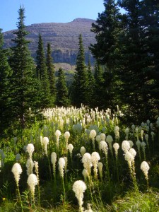
beargrass in bloom
beargrass in bloom
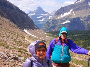
Amy and Rob buffeted by high wind climbing to Siyeh Pass

DSCN9130 Sexton Glacier view

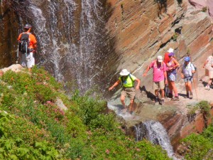
Another hike took us through a forest of large old growth western red cedar trees and up to Avalanche Lake nestled in a glacial cirque.  On our final day in Glacier, we hiked from the historic Many Glacier Hotel past Josephine Lake and up toward Grinnell Glacier.  One entertaining spot on the trail cools hikers off as they pass directly through a waterfall.
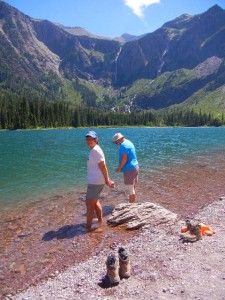
Avalanche Lake
Avalanche Lake
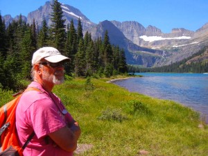
Rob at Josephine Lake
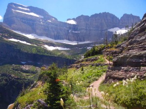
trail toward Grinnell Glacier
wildflowers along the trail
fording the waterfall

Banff National Park

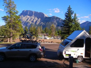
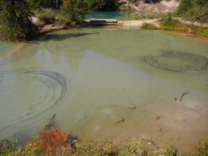
24-26 July:  Leaving Montana, we headed north into Alberta and spent a couple of days exploring the southern part of Banff National Park.  The town of Banff is a very attractive (and very busy) tourist destination in the Bow River valley, situated between high mountains of sharply tilted sedimentary rocks.  We rode our bikes along the Spray River Trail on the west side of the majestic Mt. Rundle, which was in full view directly from our campsite.  The next day we took one of the most popular short hikes in this area, to views of large waterfalls in Johnston Canyon.  Continuing farther up the trail, we managed to leave a lot of the crowd behind as we hiked to the Ink Pots.  Those are pools of water fed by upwelling spring water, which creates interesting patterns that are continually shifting in the sediment at the bottom of the pools.

view of Rundle Mountain from our campsite in Banff
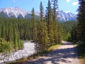
Spray River trail
Spray River trail
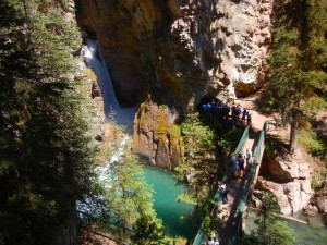
veiwpoint for one of the waterfalls in Johnston Canyon
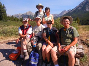
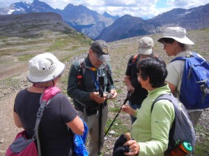
our contingent of the "Old Fogeys Outing Club"
our contingent of the “Old Fogeys Outing Club”
upwelling in the pools at the Ink Pots
upwelling in the pools called the Ink Pots


Kootenay National Park

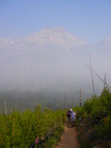
27 July:  Kootenay is in B.C., on the western side of the continental divide.  We did one day hike there while still camped in Banff.  On a number of previous days in B.C., Montana, and Alberta we had traveled through thick haze due to distant wildfires.  The morning of our hike in to Stanley Glacier was the worst we had yet seen.  Not only were the views very limited, but the smell of smoke was constant.  We hiked up the Stanley Creek valley between two tall, steep-sided mountains into a glacial cirque.  This valley is known for its Burgess Shale formations, which contain fossils about 500 million years old, and also for the Stanley Glacier, perched high above the creek on a north-facing slope.  The smoke haze began to clear in the afternoon and we hiked further up the valley beyond the official end of the trail on well-worn paths up to a wooded shelf with a good view of Stanley Glacier above it.

mountain view obscured by wildfire smoke
looking at Stanley Glacier
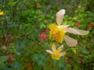
pale yellow columbines

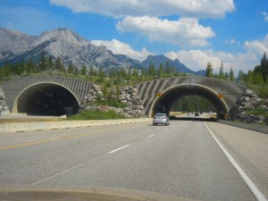
On our way to the hike and back to our campsite, we saw a few of the state-of-the-art wildlife overpasses that have been constructed in the Bow River valley across the Trans Canada Highway.  These structures are being constructed to provide continuous corridors between prime wildlife habitat areas in the Canadian Rockies for such species as grizzly bears, elk, deer, wolves, moose, and mountain lions, as well as smaller mammals.  Monitoring day and night by remote cameras has shown that they are being used extensively, thus preventing numerous collisions that would have inevitably resulted from the high volume of car and truck traffic.

wildlife overpass on the Trans Canada Highway

Yoho National Park

28 July and 1 August:  Before and after our visit to Canada’s Glacier National Park (to be described in the next post), we spent a couple of days in Yoho National Park in B.C.  This park includes Kicking Horse Pass, part of the route selected by the Canadian Pacific Railway in building the transcontinental railroad in the mid-1880s.  Although Canada was created in 1867, B.C. did not join at that time.  The Canadian Prime Minister promised a transcontinental railroad linking B.C. to eastern Canada as an incentive to become the fifth Canadian province, which it did in 1881.  Kicking Horse Pass (named when the head surveyor was kicked in the chest by his horse) was chosen by CPR for their route through the Rocky Mountains despite being higher and steeper than the alternate route proposed through Yellowhead Pass to the north.  The route west of Kickinghorse Pass at the Continental Divide was so steep (a 4.5 percent grade known as “The Big Hill”) that there were three runaway sidings for descending.  Trains had to be reconfigured with extra engines and fewer cars to climb to the pass from the west.  After 24 years, a gentler route was built by building two “Spiral Tunnels” in which the trains made a 360-degree loop within each tunnel and emerged near where it had entered but at a different level.  The Spiral Tunnel route is still used today, and we visited a highway overlook above one pair of tunnel entrances with a detailed set of historical signboards.

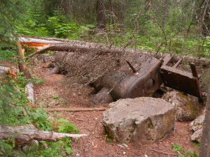
We also hiked the Walk in the Past interpretive trail that crosses the modern rail line and highway and climbs to the old Big Hill grade (now a gravel road).  It led to one of the runaway sidings, where an old small gauge locomotive that was used in the construction of the Spiral Tunnels lies abandoned and rusting.

abandoned small gauge locomotive at one of the old runaway sidings

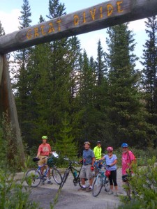
The Trans-Canada Highway also passes through Kickinghorse Pass, but there was an earlier two-lane highway that is now abandoned and closed to cars but open to bicycles.  We biked on that and stopped near a large log arch over the road at the Great Divide between B.C. and Alberta.  An overgrown interpretive trail from there led to a monument beside the railroad tracks (describing the kicking horse incident) and also to a small creek that divides into two branches, one flowing into the Pacific via the Columbia River and the other flowing into the Atlantic via the Saskatchewan River and Hudson Bay.

biking across the Great Divide
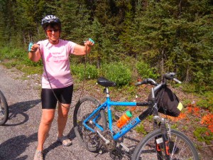
Amy's chain broke and fell off after going over a bump
Amy’s chain broke and fell off after going over a bump
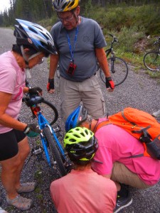
many hands saved the day
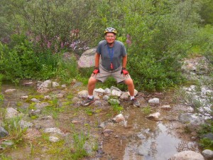
Dick at Divide Creek, which flows toward him then splits into two branches to the left and right
Dick at Divide Creek, which flows toward him then splits into two branches to the left toward the Pacific and right toward the Atlantic

Glacier National Park of Canada

29-31 July:  Canada also has a Glacier National Park (not to be confused with the American park in Montana), in B.C. west of the continental divide.  The Rocky Mountain parks in Canada were all created about when the transcontinental railway began bringing tourists in 1886.  To help finance building the transcontinental railway, the Canadian Pacific Railway built luxurious hotels to bring tourists to see the grand scenery of the Rocky Mountains.  One of these was Glacier House, built in the style of some of the great hotels in the Swiss Alps.  They also hired Swiss mountaineers to build hiking trails and guide tourists on alpine climbing excursions, advertising the area as North America’s version of the Alps.  CPR’s transcontinental railway, completed in 1885, crossed the Selkirk mountain range at Rogers Pass, with a grade not much less steep than the route through Kickinghorse Pass to the east.  About 1910, a 10-mile-long tunnel was completed to bypass the steep Rogers Pass route.  The Glacier House hotel went out of business in the 1920s and was dismantled.  Now the former hotel site is the nucleus of a great set of hiking trails (many of them dating back to the Glacier House’s glory days in the 1880s and 1890s).  Glacier National Park is truly spectacular, and our three days of hiking there led us into some unforgettable mountain scenery.

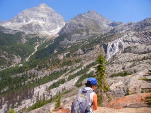
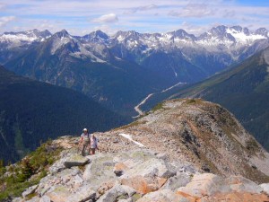
Amy hiking amid views of mountain peaks, glaciers, and waterfalls
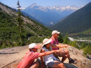
admiring the alpine scenery
climbing Glacier Crest
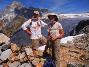
Rob & Judith above Illecillewaet Glacier
view across Bostock Creek valley
peaceful cedar woods on a trail where we saw no other hikers all day

Lake Louise

2-4 August:  The very popular tourist destination of Lake Louise is in the northern part of Banff National Park.  We camped for four nights in the trailer campground (hard-sided campers only; the separate tent campground had a tall electric fence around it to keep out bears) and hiked for three days.  Our first hiking destination was unavailable because when we arrived at the Moraine Lake trailhead, the parking lot and all available shoulder parking near it were completely full.  We chose an alternate hike, though, that proved to be very pleasant and not nearly so crowded.  We ascended by a wooded trail past a small lake to a semi-open area in Paradise Valley with good views of high peaks and mountain glaciers towering above, including Temple Mountain, which we could see from our campsite.

Paradise Valley
Paradise Valley
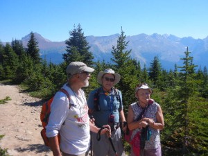
Amy, Sonia, and Judith stopping for a view
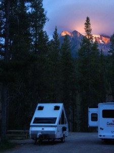
Temple Mountain at sunset from our campsite in Lake Louise

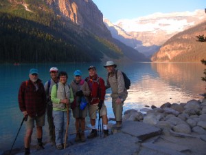
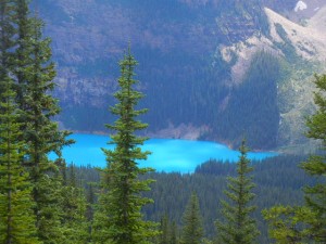
The next day we set our alarms and secured parking at the Lake Louise trailhead around 6:30.  The lake itself is higher than and a few kilometers away from the town of the same name.  It is the site of one of the grand hotels built by the Canadian Pacific Railway, Chateau Lake Louise, which has a commanding view of mountains and glaciers across the lake.  We hiked along the lake past the far end where the trail climbed gently to the Plain of Six Glaciers tea house, where we stopped mid-morning for tea, coffee, and biscuits.  We continued farther up the valley to an overlook of the glacier.  On the way back to Lake Louise, I took the Highline trail to see Lake Agnes while the rest of our group took the more direct (and downhill) route back.  Lake Louise and other lakes in this region are not only the beautiful turquoise color that we had seen in other lakes fed by meltwater from glaciers, but the water in them looks opaque rather than translucent because of the high concentration of glacial flour suspended in it.

early start at Lake Louise
coffee break at the Plain of Six Glaciers Tea House
Dick and Sonia
Dick and Sonia
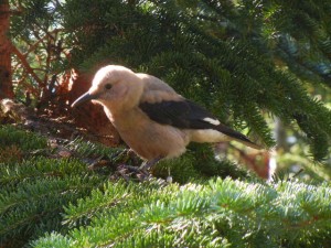
Clarks nutcracker
Clarks nutcracker

Our final day hike in the Lake Louise area was into the Valley of the Ten Peaks.  The trail starts at the outlet end of Moraine Lake, where the glacier had deposited a huge hill of boulders, blocking the stream valley.  We hiked in as far as Eiffel Lake, then on the way back hiked part way up another trail in Larch Valley, where the light green and feathery needles of many larch trees contrast to the darker green of fir, spruce, and pine.  This valley must be beautiful in the autumn when the larch needles turn yellow.  Larches are unique among coniferous trees in dropping all their needles every fall.  For most of our hike we were surrounded by tall, steep, rugged mountain peaks topped with snowfields and glaciers.
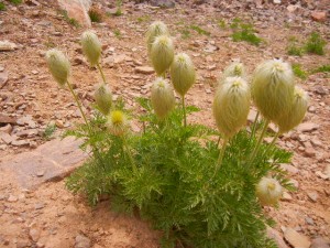
we called these mop-heads until we learned they are western anemones
Moraine Lake--yes, that's the real color
Moraine Lake–yes, that’s the real color

The Columbia Icefield

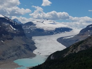
5-8 August:  From Lake Louise we drove north on the beautiful Icefield Parkway into Jasper National Park.  Our “Old Fogeys Outing Club” group was able to find three unoccupied campsites next to each other in Wilcox campground near the Icefield visitor center.  This campground is unserviced (no electric hookups) and first come, first served (no reservations available), but is conveniently located and has very attractive wooded sites.  We hiked up the nearby Parker Ridge trail, which is a real gem.  As we neared the top of the ridge, above treeline, Amy noticed small round whitish spots in the dark gray rocks and realized that they were fossils.  Soon our whole group was intently picking up the rocks at our feet and finding them chock full of fossils of a wide variety of invertebrates (corals, bryozoans, worm tubes, bivalves, etc.).  When we finally resumed our hike to the top of the ridge, we were rewarded with a panoramic view of mountains and glaciers, but the best view was yet to come.  Heading back downhill past the fossil beds, we took a spur trail that led to a superb view of the Saskatchewan Glacier, which is not visible from the road.  From this vantage point, we could see far up the valley occupied by this long glacier.  Longitudinal rows of rock debris on the top of the glacier give a real sense of the movement of the ice down the valley.  There was a small blue lake just below the toe of the glacier.  The stream flowing from it is the source of the North Branch of the Saskatchewan River, which flows eventually into Hudson Bay and into the Atlantic.

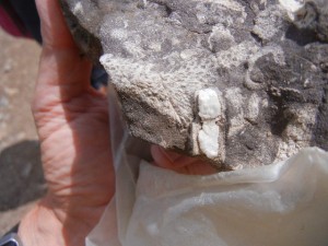
fossils hunting fossils
rocks full of fossils
view of Saskatchewan Glacier from Parker Ridge

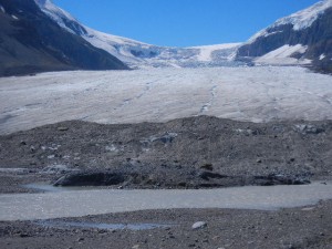
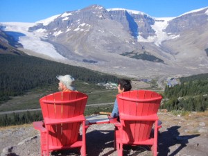
The next morning, before heading up to the northern part of Jasper National Park, we took a couple of hikes and went to the Icefields Visitor Centre.  The mountains on the west side of this valley hold the huge Columbian icefield, the source of glaciers whose meltwater flows into three of the world’s oceans, the Pacific, Atlantic, and Arctic.  A trail right from our campground led up onto a ridge on the east side of the valley overlooking the Athabasca Glacier directly across from the Icefield Centre.  When we got to the overlook, we discovered two bright red Adirondack-style chairs placed there by Parks Canada.  The tradition of placing Red Chairs in a few special places in a Canadian national park started in Gros Morne National Park in Newfoundland.  We discovered a couple of them on our Newfoundland vacation in 2014 with Rob and Judith.  At the Icefield Visitor Centre we viewed the park’s video and exhibits, then took the short walk across the road to a close view of the toe of the Athabasca Glacier.  Signs along the path mark the toe’s position in various years since the early 1900s, when it reached the bottom of the valley, to today, where it has receded perhaps a mile during global warming.  Walking on top of the glacier is restricted to guided tours because of the danger of falling into a crevasse.  Just a few years ago a young boy strayed beyond the restraining ropes, fell into a crevasse, and died of hypothermia before rescuers could reach him.

Wilcox Pass Trail view of Athabasca Glacier
the toe of Athabasca Glacier

Jasper

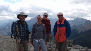
7-8 August:  Camped for three nights close to the town of Jasper at the northern part of Jasper National Park, we went for a couple of hikes up onto mountain ridges with extensive views.  Although not quite as high or snow-covered as the peaks around Lake Louise, the area we hiked in east of the town of Jasper has plenty of rugged mountain ridges.  When we got to the summit of the Sulfur Skyline trail, we had the pleasure of running into Jessica, whom we had met on the trail and hiked with three days previously, in the Lake Louise area.  She hiked down with us and we all got a table together at the café at Miette Hot Springs to chat more before heading our separate ways.  The hot springs were formed by water percolating deep enough underground to be heated geothermally, then rising through a faulted area to resurface as hot water.

our hiking friend Jessica was on the summit of Sulfur Skyline trail when we arrived there
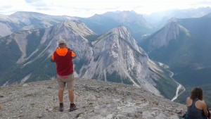
view from Sulfur Skyline trail

Our next day’s hike began at Maligne Lake and climbed up onto a ridge called Bald Hills.  Walking along the narrow crest of the ridge for a while, we had nice views of a green river valley on one side, the beautiful Maligne Lake on the other side, and mountain ridges all around.  The interesting thing about Maligne River, as it flows down the valley away from the lake, is that this fairly substantial flow of water disappears into the ground, leaving a dry stream bed for several kilometers before resurfacing in a gorge area downstream.  The Maligne River valley is a hanging valley, because during the ice ages the Maligne Glacier was much smaller, and thus did not carve as deeply as the Athabasca Glacier into which it flowed.  The gorge was carved into the headwall of this hanging valley as the Maligne River plunges to meet the Athabasca River below.

Rob, Dick, and Sonia
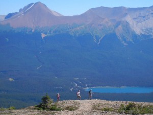
Bald Hills trail above Maligne Lake
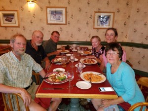
Old Fogeys farewell dinner

Kananaskis Country and Calgary

9-10 August:  We said good-bye to Rob & Judith, who were headed north to Wood Buffalo National Park, along the border between Alberta and Northwest Territories, while we headed south for a couple of more days with Dick & Sonia before our paths also diverged.  Our next campground, in McLean Provincial Park, was in the area known as Kananaskis Country, in the foothills on the eastern side of the Rockies, between Banff and Montana.  Although conveniently close to Calgary, this campground would normally have been full of noise, dust, and fumes, because it is a major campground and trailhead for off-highway vehicles.  Fortunately for us, there was a ban in effect for the use of recreational OHVs, due to the danger of sparking additional wildfires.  We enjoyed the quiet by going for a couple of short walks nearby.  The Elbow River flows eastward down from the mountains, and is large enough to provide water to about a third of the entire population of the province of Alberta.  Although Elbow Falls didn’t look very big when we were there, the flow rate varies 100-fold during the year, and the very wide river bed and huge amount of large rounded cobbles indicated how great the spring floods must be.  Forgetmenot Lake was originally a large gravel pit that filled with spring water and now has a decent sized outlet stream despite having negligible flow from inlet streams.

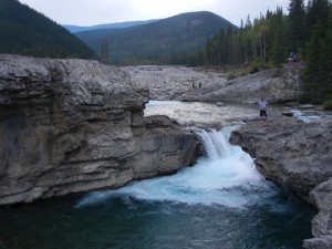
Elbow Falls
Elbow Falls
Forgetmenot Lake
Forgetmenot Lake

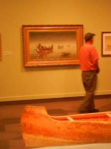
The next day we drove into Calgary and devoted our attention to the Glenbow, a museum of art, cultural history, and natural history.  We went on a tour and talk about the special exhibit by Ken Monkman, a Canadian artist of Cree heritage.  His paintings were large, modern, and even shocking, symbolizing the plight of native people resulting from being colonized, Christianized, urbanized, and modernized.  Many of his works were closely based on well-known classical paintings, with a strong satirical twist.  We had a tasty lunch at a place on Stephen Street, a pedestrian way with lots of restaurants near the Glenbow, then went back in for the rest of the afternoon and focused on exhibits on Northwestern art (the Northwest Territories once included all of what is now western Canada), the romance of canoes (birch bark as well as cedar), the culture of the Blackfeet in particular and First Nations tribes in general.
tourists Sonia, Dick, and Amy in Calgary
Dick perusing the Romancing the Canoe exhibit in the Glanbow museum

Saskatchewan Landing

11-13 August:  After a day of driving across southern Alberta and into southwestern Saskatchewan through wide open vistas of flat, arid, prairie farmland, we camped at Saskatchewan Landing Provincial Park.  The valley of the South Saskatchewan River was carved at the southern margin of the continental ice sheet at the end of the last ice age by torrents of glacial meltwater.  Saskatchewan Landing has served as an important crossing of the South Saskatchewan for centuries (perhaps for millennia).  Nomadic natives of the plains, European fur trappers, mixed blood Métis, homesteaders, and ranchers at various times used this area.  A long reach of the South Saskatchewan that includes Saskatchewan Landing is now submerged in narrow Diefenbaker Lake, the result of two dams built in the late 1960s to provide flood control, irrigation, power, and recreational boating.  There is a diverse fish fauna in the lake, including sturgeon, whitefish, Rainbow Trout (an introduced species), Goldeye, Northern Pike, Burbot, Yellow Perch, Walleye, and Sauger.
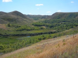
There is noticeably more relief in the river valley than in the surrounding plains.  Besides the valley of the South Saskatchewan itself, there are many small tributary valleys (“coulees”) carved into its sides, forming a complex of valleys and ridges along its course.  Although these coulees have very little water flowing through them now, when the glaciers were melting they were being eroded by powerful rivers of meltwater.  The small springs and creeks remaining in the coulees nowadays are barely sufficient to support shrubs and small trees in this otherwise arid land of grassy plains.

a coulee in the South Saskatchewan River valley
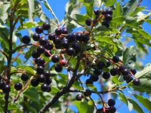
Saskatoon berries
Saskatoon berries
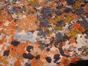
golden moonglow, elegant sunburst, and egg yolk lichens on a boulder left by glaciation
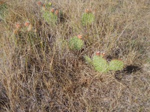
prickly pear cactus on the arid Saskatchewan prairie
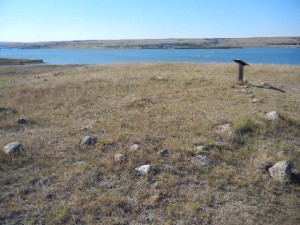
circle of stones left at a teepee site near Saskatchewan Landing

Along Swift Current Creek, a tributary to the South Saskatchewan, the city of Swift Current has parkland and a very nice paved bike path.  Unfortunately, Amy’s bike chain broke again so we only got to explore a small section of the trail.  When a nearby resident walked over to us to offer a ride, we declined so we could walk back on the trail, but lingered for at least a half hour to chat with him.