Big Smoky Valley

Day 44:  A travel day, across eastern Nevada’s typical basin and range landscape to Round Mountain where we stayed a couple of days with Barb and Dan in the Big Smoky Valley, the basin between the Toiyabe Mountain Range to the west and the Toquima Mountain Range to the east.
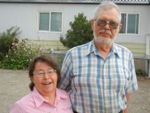
Barb and Dan
Barb and Dan

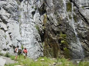
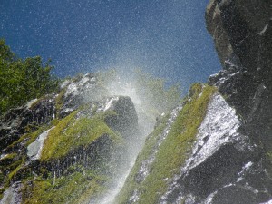
Day 45:  Barb & Dan took us for a hike up Broad Canyon, in the Humboldt-Toiyabe National Forest, close to where they have lived for the last nine years, while Dan was the high school science teacher and then a senior technical trainer for the mining company.  We hiked up along a stream between the steep, rugged, rocky walls of the canyon to a high waterfall.
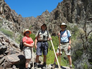
Barb, Dan, and Paul
Barb, Dan, and Paul
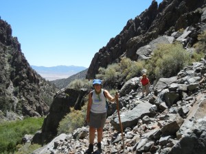
Amy & Barb hiking up Broad Canyon
Amy & Barb at the bottom of the falls
top of the falls
top of the falls
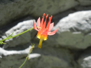
crimson columbine
crimson columbine

In this land of dusty dirt roads, sagebrush, pinyon pine, and juniper, the waterfall made a very pleasant lunch spot on a hot sunny day.  For centuries, pinyon pine seeds were a critical food source for the Native Americans of this area.  Each year, Barb and Dan would harvest pinyon cones while still green and dripping with sap in the summer, then let the cones dry so the seeds could be removed and roasted in the fall (they are delicious).
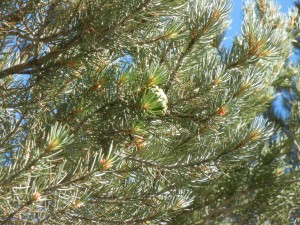
green cone on a singleleaf pinyon pine

Day 46:  With Barb & Dan, we took a tour of the Round Mountain gold mine, one of the largest open-pit mines in Nevada.  After we saw a couple of the huge haul trucks close up, we could appreciate the vast size of the pit as we watched from the rim as trucks were hauling ore up from far below us.  We saw where the ore is crushed in stages into small pieces, the equipment used to concentrate the fraction of ore with the highest gold content, the assay lab, the metallurgy lab, and the leaching beds where the cyanide solution is dripped through large piles of the richest ore to extract the gold.  In the afternoon, Barb & Dan took us hunting for fossils (we didn’t find any) and up into the hills to see the old mining town of Manhattan.  On the way back we drove by a herd of about 25-30 pronghorns, not close enough for a good photo, but in good range to look at for a while through our binoculars.
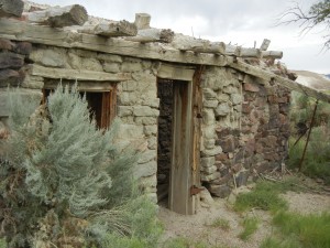
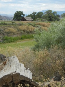
old stone (homesteader's?) cabin
old stone (homesteader’s?) cabin

Heading for the coast

Day 47:  Another travel day, as we drove across western Nevada on the stretch of U.S. 50 that was part of the old Lincoln Highway and has been dubbed “the Loneliest Road in America.”  This road is near the Pony Express route and was America’s first transcontinental highway in 1913 (it was a dirt road back then).  We stopped to bike part of the Tahoe-Pyramid bike path along the Truckee River in Sparks and Reno.  There was hardly any water in the river, or in the reservoir we camped next to, a few miles west of Reno across the California line.

Truckee River along the bike path
view from our campsite of Boca "Reservoir" (reduced to a small stream by the 4-year California drought)
view from our campsite of Boca “Reservoir” (reduced to a small stream by the 4-year California drought)

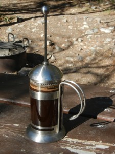
For Amy, no morning has begun properly before she has her coffee, so we have a French press for brewing coffee while camping.

morning coffee brewing in French press
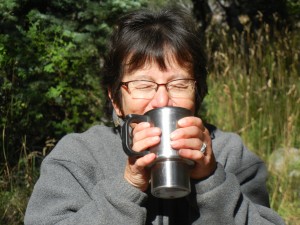
Ahh, coffee's ready!
Ahh, coffee’s ready!

001 coffee poster

Donner Pass

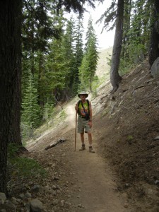
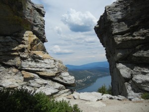
Day 48:  On Paul’s birthday, we started at Donner Pass and hiked a short section of the Pacific Crest Trail and a side loop over Donner Peak (a granite crag) and Mount Judah (volcanic pyroclastic rock).  The trail climbs quickly by gentle grades to excellent views, passing through groves of big Douglas fir trees and patches of alpine wildflowers.

Paul hiking the PCT on his birthday
Donner Lake viewed from Donner Peak
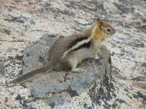
golden-mantled ground squirrel on Donner Peak

Driving back to the campground, we paused at overlooks on Donner Pass Road, where it descends to Donner Lake, to read the historical signs and admire the accomplishments of constructing transportation routes through this rugged pass through the Sierra Nevada Mountains.  An emigrant wagon trail in the early 1840s, the first transcontinental railway route in the late 1860s, and the first transcontinental auto road in the early 1910s all threaded through Donner Pass.  Sections of the original train and auto routes through the pass have since been replaced by gentler grades, but the original railroad grades and tunnels and the original auto roadway are still there and can be explored on foot.  There are also some Native American petroglyphs visible in one area of the pass.

Elephant seals

Day 49:  On the road again, across California to the coast, to camp at Amy’s niece Teresa’s organic farm in Pescadero.  The traffic near San Francisco Bay was heavy, even on a Sunday.

Day 50:  At nearby Año Nuevo State Park, there is a stretch of beaches used by northern elephant seals for breeding and molting.  This species was hunted nearly to extinction, but it has made a comeback since being legally protected.  Elephant seals returned to this part of the California coast in the 1960s.  The park has an excellent visitor center and hiking trails to viewing spots close to the beaches where the seals congregate.

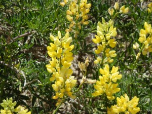
yellow lupine shrub
yellow lupine shrub

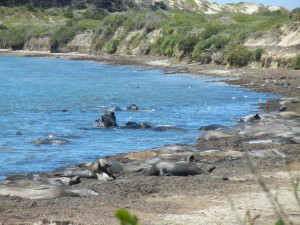
The breeding season is in the winter, but during our visit in August there were several males that had returned to molt.  As we watched, some of the males were pairing off in mock fights (the serious fighting to determine dominance over harems occurs during the breeding season).

elephant seals at Ano Nuevo

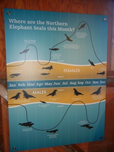
Males and females migrate separately and spend most of the year far out at sea, traveling thousands of miles (as far as Alaska and Hawaii) before returning annually to their breeding areas on the beaches.  They dive incredibly deep to feed, hundreds of feet and even as deep as a mile down.

elephant seal annual migration cycle

In the evening, we had a visit from Amy’s grad school apartment mate Karen, now a cardiologist living in Palo Alto.  Karen treated us to a restaurant dinner in Pescadero:  local seafood and olallieberry cobbler.

Monterey

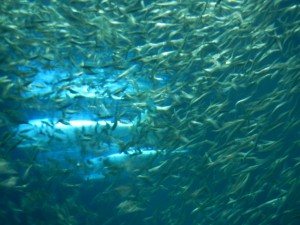
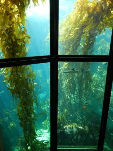
Day 51:  We left the camper and bikes at Teresa & Mike’s to make a day trip to the Monterey Bay Aquarium.  In addition to various tanks of fish, jellyfish, puffins, and sea otters, there is a giant tank with deep ocean fish and another giant tank with a kelp forest community.006 deep ocean tank at M Bay Aq

009 kelp forest at Monterey Bay Aquarium

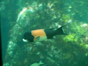
male sheepshead about 2 feet long
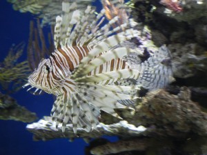
lionfish
lionfish

An interesting display on the rise and fall of the sardine fishery in Monterey Bay recalls the Monterey of John Steinbeck’s time (his “Cannery Row” was based on the neighborhood where the aquarium now stands).  Several displays are geared for children and others focus on the problems of overfishing and oceanic pollution.  The amphitheater show was an engaging multimedia presentation of the historical and cultural development of Monterey revolving around the fishing industries of the bay.  We also watched three different 15-minute shows in the auditorium.  All were superbly and attractively presented.  We took a break to stroll along part of the pedestrian and biking path along the shore of the bay and spotted a couple of sea otters floating on their backs in a nearby kelp bed.  Before leaving town we had dinner at a local seafood market and restaurant (the grilled sablefish and trout were very tasty and not too expensive).

Los Padres National Forest

Day 52:  Teresa, Mike, and their son Charlie arrived in the week hours of the morning after a long airline delay and expensive taxi ride on their return from visiting Mike’s family back east.  We enjoyed a visit with them in the morning over a pancake breakfast before heading south to our next destination, Wheeler Gorge in Los Padres National Forest.

Teresa and Charlie
Teresa and Charlie

We elected to take Highway 1, the Pacific Coast Highway along the Big Sur coast, rather than the much faster and more direct Highway 101, and the views rewarded us for the extra time spent on the road.  More than once we rounded a sharp curve or crested a hill to see a great view—the highway hugs the steep and rocky shore—but there was not often a safe place to pull over with the trailer to try to get a photo.  Cutting inland at dusk toward our campground, we had more hills and hairpin curves going over a range of big hills, through a valley, and up into the gorge through three narrow tunnels to where we were staying.

along the Pacific Coast Highway

Day 53:  The hike we had picked out for today was up the road from our campground some 35 miles or so (more switchbacks—very steep hills and valleys up to a 5,160-foot-high pass at Pine Mountain Summit), but as we approached the turnoff for the trailhead, we saw fire trucks parked on the side of the highway where they had been putting out a forest fire during the last few days.  The trail we had picked was closed—the fire was out but the crews were still checking for hot spots.  Luckily we knew of an alternative hike nearby, so we hiked to the Piedra Blanco (white rocks) from another trailhead off the same road.  This is chaparral country, so we were seeing a lot of shrubs, trees, and flowers new to us easterners.  The white rocks are a rounded whitish sandstone formation sticking up out of the gray shrubs and reddish sandstone and soil typical of the surrounding valley.  One formation was shaped a lot like a giant elephant or mammoth, perhaps 150 feet high.

Piedra Blanca
Piedra Blanca
elephant-shaped rock formation
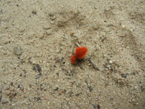
red denizen of Los Padres NF

Pausing in paradise, …

Day 54:  We were dreading the traffic near Los Angeles, but fortunately didn’t hit any significant amount of traffic on our way to Coronado.  Situated across the bay from San Diego, the very upscale city of Coronado has a Navy base, a long tradition as a tourist destination (including the iconic 19th century Hotel del Coronado), and a great beach.  Paul’s brother Bob and his wife Marilyn have lived there since 1968 and raised their three sons there.  What a great place for us to relax for a while and visit with folks we see none too often.  The first thing we did after parking Vagabond in Bob & Marilyn’s driveway was to go for a swim at the Coronado beach.  The water felt wonderful.

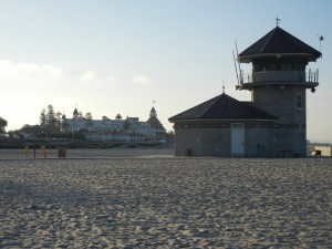
Coronado beach with Hotel del Coronado behind

Day 55:  Before getting down to serious visiting with the Lindsays, we devoted a day to visiting with retired friends Manya and Ken, who recently moved from N.H. to Carlsbad, Calif.  They led us on a scenic bike ride along the coast in the morning.  Later we had a nice long soak in their local swimming pool with their daughter Britta, son-in-law Judd, and grandson Kale, before reconvening for tacos and gelato in Carlsbad Village.

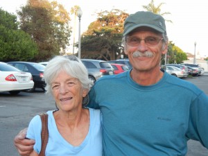
Manya & Ken
Manya & Ken
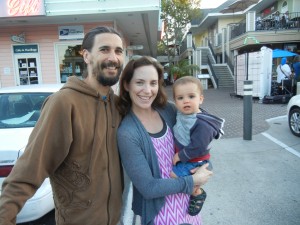
Jud, Britta, & Kale
Jud, Britta, & Kale

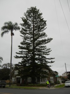
Days 56-58:  The visit with Bob & Marilyn was the goal around which the rest of the trip was planned.  This cornerstone of our big adventure was supremely enjoyable.  Bob took us on bike rides around Coronado’s scenic and historic sites, including a variety of big old “heritage” trees.

touring heritage trees with Bob
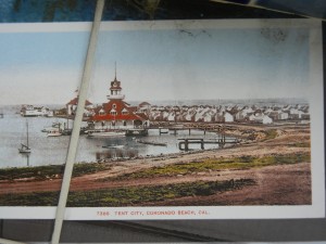
Coronado tent city a century ago

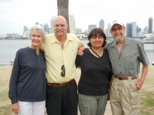
We twice got together with Bob & Marilyn’s son Robb and his wife Rosa.  Marilyn and Amy had lots to share about good recipes and good books.  Bob showed Paul old family photo albums.  The companionship and great meals (both home-cooked and at interesting eateries) got us well relaxed before beginning our return trip east via the desert Southwest.

Marilyn, Robb, Rosa, and Bob
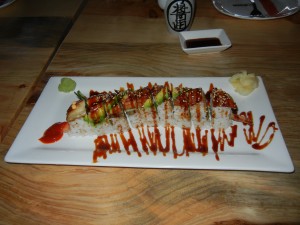
Paul enjoyed the "dragon" sushi (eel & eel sauce)
Paul enjoyed the “dragon” sushi (eel & eel sauce)

… then into the furnace

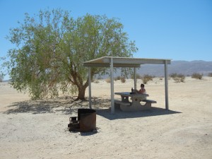
Day 59:  Heading east from the coast, we pretty quickly got into the summer heat.  Rather than sticking to the interstate highways, we took a more scenic route from Coronado to Joshua Tree National Park, which took us on some winding roads over a couple of passes and through the Salton Sea valley, where the temperature was 111°F.  We did find a picnic shelter for lunch, where it was a “cool” 104 in the shade.  At least the temperature moderated after sunset.  By blind luck we arrived at Joshua Tree NP on the peak date for viewing the Perseid meteor showers and saw a good display.

104 in the shade
104 in the shade
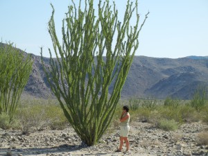
ocotillo plant
ocotillo plant

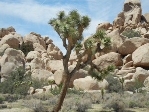
Day 60:  About half of Joshua Tree NP is in the Colorado section of the Sonora Desert and the rest is in the more northern and higher elevation Mojave Desert.  We camped and hiked in the Mojave section, which is where the Joshua Trees are found (and the heat is less intense!).  Besides the distinctive Joshua trees (a species of yucca) and a wide variety of desert plants, the Mojave section of the park is characterized by many islands of rounded granite formations protruding from the flat gneiss landscape.

Joshua tree and granite formations
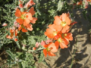
desert globemallow
desert globemallow

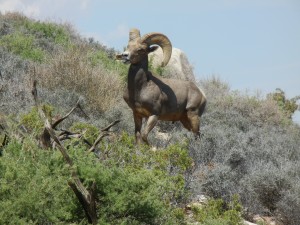
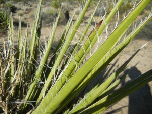
A big highlight for us was a sighting a bighorn ram up close on the Ryan Mountain hiking trail.  We also hiked around one of the park’s very attractive and informative interpretive trails.  The Native Americans pounded the leaves the Mojave yucca to separate the fibers to use for weaving cloth and rope.

bighorn ram
bighorn ram
Mojave yucca
Mojave yucca

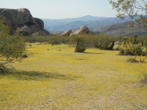
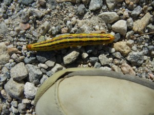
Day 61:  On our way out of Joshua Tree NP at the start of another travel day, we stopped at some more roadside display panels and a couple more interpretive trails.  At one area there was such a thick migration of yellow caterpillars crossing the park road to feed on the tiny yellow chinchweed flowers that it was impossible to avoid running over several of the critters.

carpet of tiny yellow chinchweed flowers
migrating caterpiller
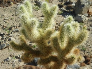
cholla "teddy bear" cactus
cholla “teddy bear” cactus

Once down at lower elevation, we were back in temperatures around 110 for the drive into Arizona, where we began to see saguaro cactus and prickly pear cactus in addition to the ocotillo plants we had first noticed in southeastern California.  Then our route climbed steeply out of the broad desert valley onto pine-covered mountains a mile high, where it was cooler.  We just had enough time before dusk for a bike ride on the Peavine rail trail through the beautiful granite dells in Prescott.

Peavine rail trail
Peavine rail trail

Prescott

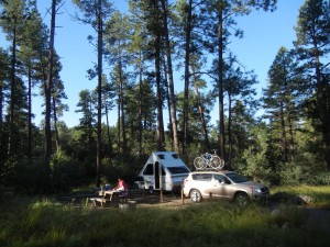
Day 62:  Camping under tall ponderosa pines in Prescott National Forest was a pleasant contrast to the heat wave in “the valley” (the Sonoran Desert) while we went visiting.

campsite in Prescott NF in tall pines & shrubby oaks

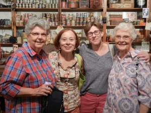
We had not seen Susan, my first cousin (once removed) for about 35-40 years.  We joined Susan, her friend Betty, and Betty’s daughters Ann and Ellen at the Desert Caballero History Museum in Wickenburg—a good place to get the flavor of a western town, get a glimpse of its early days, and savor some good Mexican cooking followed by ice cream.  I particularly appreciated hearing Susan’s memories of her Grandfather Lowry (my great grandfather), who died at Falmouth when Susan was nine and I was only a little over a month old.  Driving back to our campground we saw our first roadrunner, as it darted across the road.
Susan, Ann, Ellen, and Betty
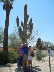
big saguero cactus
big saguero cactus

Day 63:  We had originally hoped to visit our friends Teresa and Randy in Colorado on this trip, until we heard they had moved away, but luckily they ended up in Prescott, only about a mile and a half from the campground where we were staying.  While at Normandeau 19 years ago, Teresa inspired me and several colleagues to start running.  Chef Randy served a gourmet breakfast and they gave us a tour of their beautiful home.  Randy had also helped us by charging our run-down camper battery overnight.

Randy & Teresa
Randy & Teresa

In the afternoon we headed off for our next destination, the red rock country of Sedona we had heard so much about.  We took the scenic route, over yet another twisty mountain road, this one passing through the town of Jerome, incredibly nestled into a steep mountainside high above the valley below.

Sedona

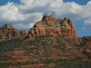
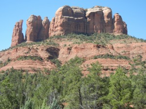
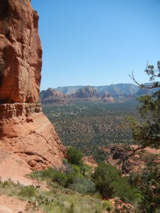
Day 64:  The red sandstone scenery around Sedona fully lived up to our expectations.  A short but steep hike up to the saddle of Cathedral Rock rewarded us with good views of the surrounding cliffs, mesas, and canyons.
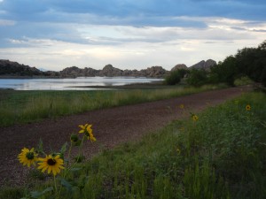
Sedona scenery
Sedona scenery
Cathedral Rock
Cathedral Rock
view from the Cathedral Rock trail

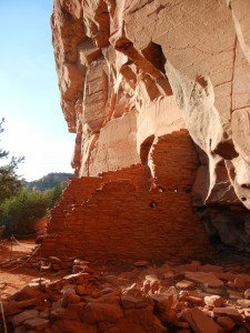
In the late afternoon we went on a three-hour guided tour by jeep and hiking trail to the Honanki ruin located against the base of a cliff.  This particular ruin is the original structure (not reconstructed).  Damage from looters and souvenir seekers has been reduced by limiting public access mainly to authorized tours led by trained professionals.

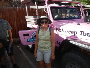
a new hat for the occasion of a Pink Jeep tour
Honanki ruin
Honanki ruin

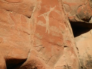
The people living in this arid region in the late 1100s through early 1200s were called the Sinagua by the Spanish (“without water”).  They cultivated corn, beans, squash, and cotton by carefully managing what little water they had.  Our guide “Diggy” pointed out several pictographs (drawings) and petroglyphs (carvings) on the vertical rock face above the ruins, and explained their symbolism.

pictograph of a flute player at Honanki Ruin near Sedona
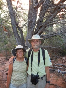
us next to an alligator juniper

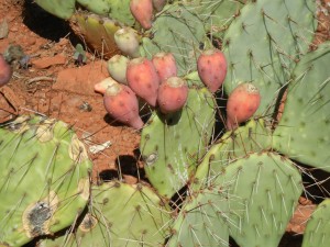
We cooled off with prickly pear gelato before leaving Sedona to head back to our campground.

prickly pear cactus with fruit