April Fools!

DSCN6324 April snowstorm

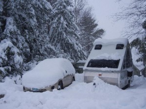
Mother Nature had a mean joke for us as we were getting ready to depart for another long cross-country camping trip:  April began with about a foot of newly-fallen wet and heavy snow to shovel.  Two years ago we traveled for just under four months and didn’t leave until mid-June, but this year we’ll be on the road for a bit over five months, with departure only four days off.  We plan to be in the Canadian Rockies in late July-early August, but we need about an extra month and a half before that, when we’ll be vacating “Vagabond” to visit family, spend three weeks touring Peru, and cruise off the Washington coast for a week with friends in their boat.

This is our first new blog post since October 2015.  Last year, so we could enjoy summer at our lakeside home in N.H., we only went on short camping excursions.  The longest of those was four weeks to North Carolina and back.  Our other four trips last year were just three to six days long and closer to home (White Mountains, Maine coast, western Maine, and Pennsylvania & New York).

Seeking spring

5-8 April:  On departure day, there were still several inches of the recent snow left, plus a little extra that fell overnight.  As we drove off, the rising water level of our lake had begun to flood across our road.  Gray clouds thinned a bit as we headed south, snow accumulations disappeared as we drove through Massachusetts, there was a green blush of new grass shoots poking up in Connecticut, and early-flowering landscape trees were blooming in New Jersey.  We camped in the driveway of Amy’s sister Ruth overnight, then headed off for new states to add to our camping/hiking/biking portfolio.  Our first objective for 2017 happened to be the First State (Delaware).
DSCN6329

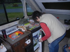
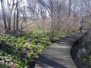
Still, it didn’t feel like spring.  We reached our Delaware campground around lunchtime, and hunkered down inside Vagabond for much of the afternoon during rain and thunderstorms.  We were bundled up in our warmest clothing against the chilly damp weather, and finally resorted to turning on the heater in the camper.  Finally it cleared off and we took a 6-mile hike around Lums Pond.  The trail was very nice, and we saw a snowy egret, a great blue heron, and some Canada geese.  Sweet gum must be the dominant tree here, because much of the trail was littered with their round, spiky seed pods.
DSCN6336

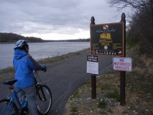
The next day was chilly and rainy again, so indoor reading and rug hooking entertained us until late afternoon, when the rain stopped and we ventured out for a bike ride.  We rode on the C&D Canal Recreational Trail, from near the campground to Chesapeake City, Maryland, and back.  A bald eagle soared past us.  The Chesapeake and Delaware Canal was dug by hand during 1824-1829, and is still in operation today as one of only two sea-level canals in the U.S.  The canal shortened the water route between Philadelphia and Baltimore by some 300 miles.  The campground was filled nearly to capacity for the weekend despite the cold and wet weather, making us glad that we had made reservations.
DSCN6338

At last, a sunny and warmer day as we drove to a short overnight stop in West Virginia.  A bit of recent snow dusted the higher elevations as we drove over the Eastern Continental Divide, but lower down the grass was high enough that cattle were out grazing.
From frost to flowers

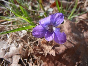
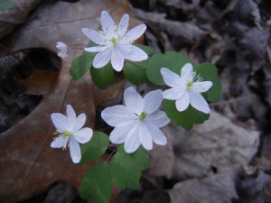
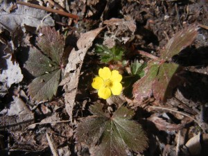
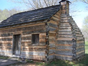
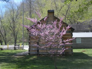
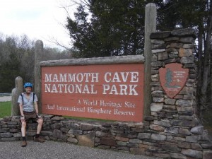
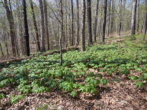
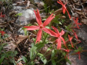
9 April:  We woke up to frost on the grass in the middle of West Virginia, but as we drove on into eastern Kentucky that same day, the temperature soared into the mid-to-high 70s.  Prominent in the scenery we drove through were redbud trees in bloom, providing colorful purplish-pink accents against the still bare hardwoods.  We camped at a very attractive campground in the Daniel Boone National Forest and went for a hike on a trail along the top of Koomer Ridge, with spring wildflowers blooming, steep drop-offs to either side of the ridge, limestone boulders, cliffs, and an arch.DSCN6350 - CopyDSCN6358 - CopyDSCN6352 - Copy10 April:  Continuing west, we descended into less hilly terrain and stopped at the Abraham Lincoln Birthplace National Historic Park, which included both his boyhood home at Knob Creek Farm and his birthplace at Sinking Spring.  The informational signs and a nice long talk with a volunteer ranger made this a very worthwhile place to visit.  We continued on to Mammoth Cave National Park, and spent some time going through the visitor center displays.  Mammoth Cave is the longest in the world, with a little over 400 miles of passageways  explored and mapped so far.  During both the Revolution and the War of 1812, this cave and others in the region were valuable sources of nitrate, which was used to make saltpeter for manufacturing gunpowder.DSCN6392DSCN6394
Mammoth Cave

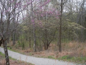
11 April:  We started the day with a ride on the gravel bike path that generally followed the 9-mile route of the Mammoth Cave tourist railroad, which operated from 1886 to 1929.  The historical and geological informational signs, the varied terrain, and the redbud and dogwood in full bloom made for a pleasant ride, at least until Amy’s rear tire blew out on the return ride!DSCN6410DSCN6409 redbud & dogwood along bike path

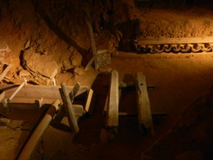
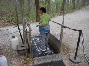
After lunch we took a self-guided cave tour down through the Historical Entrance and past the site of the nitrate mining operations, where some of the original equipment still remains.  The pipes conveying water to the leaching beds and then conveying the nitrate-rich leachate back out of the cave were made of hand-bored tulip poplar logs.  The labor for the mining operation was provided by slaves.  The reason the cave mud was rich in nitrates was the guano from bats.  Very few bats remain here today in this cave affected by white-nose syndrome.  Visitors exiting the cave walk over a mat saturated with detergent to prevent infecting other caves.DSCN6416 original nitrate mine equipmentDSCN6417 anti white nose wash

The passageway through which we walked was very broad, nearly level, and unadorned by any of the intricate formations we have seen in other limestone caves (they occur in other parts of Mammoth Cave, though).  The cave was sculpted by water seeping through limestone, but a cap layer of impervious sandstone has prevented a lot of vertical seeping, resulting in mostly horizontal flow through the limestone.  There are several roughly horizontal layers of passageways in the extensive Mammoth Cave system, with a few vertical connections.DSCN6404

Kentucky to southern Illinois

12 April:  On a gorgeous spring day following yesterday’s late afternoon and evening rain, we explored some Mammoth Cave NP hiking trails.  The 7.9 miles of our hike was mostly level through an attractive hardwood forest, where several kinds of wildflowers were in bloom.  Views of the interesting topography, the Green River valley, and distant ridges were unobstructed because the leaves had only just begun to come out.DSCN6425DSCN6430DSCN6432

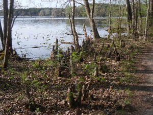
13 April:  A travel day, from Mammoth Cave in central Kentucky to the Shawnee National Forest in southern Illinois, by way of a bike shop to get Amy’s flat tire replaced.  We ate lunch at an excellent visitor center in the Land Between the Lakes National Recreation Area.  Originally LBL was called Land Between the Rivers, until the Tennessee and Cumberland rivers were dammed in 1944 and 1964 to create Kentucky and Barkley lakes.  Arriving at our campground, we found a nice quiet site and took a short walk along the lakeside path before supper.  Crossing a bridge over a small stream, we noticed clusters of baldcypress knees protruding from the stream and near the shoreline of the lake.  We had reached the northernmost limit of these ancient and distinctive trees that are so typical of southeastern swamps.DSCN6441

Tunnel Hill and a baldcypress swamp

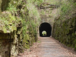
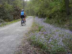
14 April:  We biked from Vienna to Tunnel Hill and back on the Tunnel Hill State Trail.  This 9.3-mile segment of the over-50-mile-long rail trail has an excellent crushed stone surface and climbs gently through forest and farmland from Vienna to the trail’s namesake tunnel at its highest point.  The tunnel was just long enough to be too dark to see the tunnel walls in the middle even though we could clearly see daylight at both ends (a little spooky!).  Spring wildflowers lined the trail for much of our way and the trail passed by some scenic rocky outcrops.  The original railroad that the trail follows was founded in 1872 by Civil War general Ambrose Burnside.  More recently, the owners of the line had refurbished the tracks in anticipation of a freight contract, but they lost the bid to another rail line and eventually donated ownership to the state of Illinois, which developed the bike trail.DSCN6452 Tunnel Hill high pointDSCN6456 Tunnel Hill trail

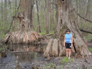
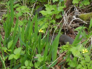
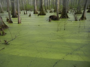
People we met and talked with in campgrounds, on the bike trail, and at visitor centers have most friendly and informative.  In the afternoon we stopped at the wetlands center at the Cache River State Natural Area, where there are excellent historical and ecological displays about the local area.  The southern tip of Illinois has several state champion trees, and at least one national champ.  We went to view the state champion water tupelo gum tree, the state champion cherrybark oak tree, and a couple of very big and old baldcypress trees (the state champion baldcypress is also nearby but not readily accessible up close).  Hiking the Heron Pond Trail, Paul was startled by rustling leaves near his feet and looked down to see a very big water moccasin (a little close for comfort!).  The hike led to a boardwalk deep into a baldcypress swamp, with interpretive signs.  Baldcypress are very long-lived trees, most closely related to sequoias and redwoods, but they are similar to larches in that they drop their needles each fall.  The water in the swamp was very still and carpeted with the tiny leaves of the aquatic plant duckweed, except for a few squiggly traces left by swimming frogs and snakes. DSCN6465 big baldcypress treesDSCN6470 water moccasinDSCN6479 duckweed in baldcypress swamp

Paducah

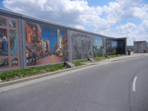
15 April:  Named for the large Padouca tribe of Native Americans in the prairie and plains region, Paducah, Kentucky, is situated where four historically important rivers meet.  The Tennessee and Cumberland rivers flow into the Ohio River a short way upstream from the confluence of the Ohio and Mississippi rivers.  In 1827 Capt. William Clark (of Lewis and Clark fame) is said to have purchased a large tract of land there for $5, a bargain compared to the $20 paid for the Newfoundland dog Seaman, who accompanied the 1804-1805 Corps of Discovery expedition to Oregon and back.  After the 50-ft flood in 1937, a flood wall was built along the Paducah waterfront and it now features several excellent large murals depicting important places, people, and events throughout Paducah’s history, accompanied by tablets with engraved descriptions.DSCN6492

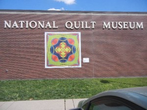
Although business stagnated for a while after the interstate highway was put in, Paducah gained renewed prominence since it began hosting the internationally famous American Quilter’s Society week and contest in 1985.  The National Quilt Museum in Paducah, opened in 1991, displays many superb quilts, including several award winners of the annual AQS competition.  The quilt museum was our focus for our day in Paducah, and we were not disappointed.  The museum does not just attract quilters and women—the artistry and craftsmanship of the quilts on display is impressive indeed.  No longer just a time-honored craft, quilting has become the chosen medium for some very creative contemporary artists.DSCN6498

In the evening we met Emily, her son Thad, and fiancée Chris at a very nice local restaurant with a Caribbean theme, and then they showed us the house they are about to move into.  Emily is Lowry’s age and her parents, Dick and Sonia, used to bring her cross-country skiing and hiking with our family before she grew up and moved from Maine into the South.DSCN6504

Garden of the Gods

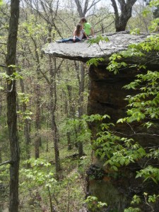
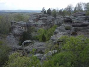
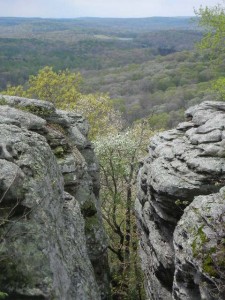
16 April:  In a corner of the Shawnee National Forest, sandstone has been eroded into very scenic ledges, cliffs, alcoves, and boulders.  This is a popular destination for hikers in this region consisting mainly of very flat farmland.  First we hiked the very short Observation Trail loop, which features a number of fancifully named formations such as Camel Rock, Anvil Rock, and Mushroom Rock.  There were many families enjoying Easter Sunday at this spectacular site.  Then we hiked a somewhat longer loop trail to Indian Point, where we saw very few hikers.  We did get caught in a brief rain shower on the shorter trail, but otherwise the rain held off until after we were done hiking for the afternoon.
DSCN6511DSCN6515 Garden of the GodsDSCN6524 Indian PointDSCN6537 sculpted rock

Cahokia Mounds

17 April:  A travel day, from near the southern tip of Illinois north to just outside of East St. Louis, Illinois, to get close to tomorrow’s destination of Cahokia Mounds.  On the way we stopped at the Public Library in Sparta, where Paul’s great-great-great grandfather John Stitt died, but had no luck in finding any record of his death or where he is buried.  We don’t know whether he lived in Sparta for a while, or was just traveling through when he died.  He was living in Oxford, Ohio, in 1860; died in September 1861 in Sparta, Ill.; and his widow Jane Stitt was living in Monmouth, Ill., with two of their daughters in 1870 and 1880.

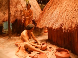
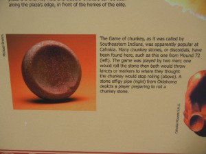
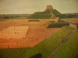
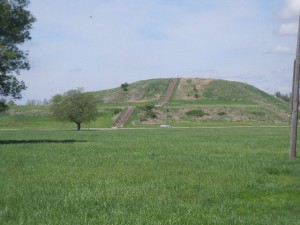
18 April:  After we had a fun on-line video session waving back and forth with our granddaughter Corwyn (her newest skill), we spent a few hours at Cahokia Mounds State Historical Site (also designated as a National Historic Site and a UNESCO World Heritage Site).  Cahokia is what archaeologists call the very large city that was here in the Mississippi River floodplain from roughly 950 to 1350, whose occupants built many large earthen mounds.  These people were part of what is called the Mississippian culture, in what is now the southeastern U.S. and farther up the Mississippi valley.  The reason the area was abandoned around 1350 is not known for certain, nor which modern tribes are descended from them.  They relied heavily on agriculture (corn, squash, sunflowers, and other crops), supplemented by hunting and gathering, and also had extensive trade networks with people at least as far away as the Great Lakes and the Gulf of Mexico.  Their mounds were built of local earth carried in woven baskets (they did not have the wheel or domestic animals other than dogs).  The largest mounds were truncated (flat-topped) pyramids, and some had small pole and thatch buildings on top.  There was a massive log stockade around the central core of the city.  In its time, Cahokia was as large as or larger than the largest cities of Europe such as London and Paris.  Cahokians had all the attributes we associate with civilization and cities except for a written language.  The film and exhibits at the visitor center are first class, and there are walking trails with interpretive signs throughout the extensive grounds.DSCN6555 hunter and potterDSCN6560 game of chunkyDSCN6550 original Monks MoundDSCN6559 Monks Mound

Missouri — Ozarks and the Big Muddy

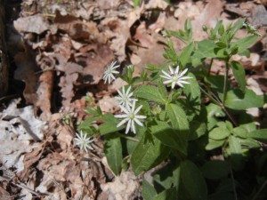
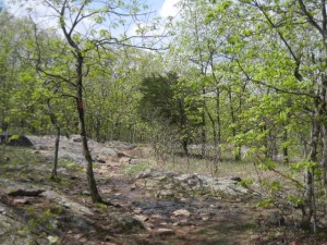
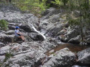
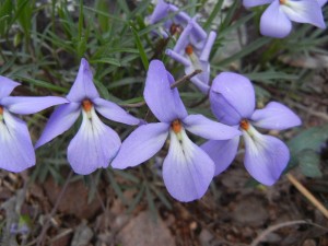
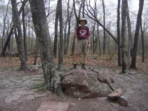
19 April:  Last night and tonight we’re camped in the pleasant and very quiet (practically empty) Wild Boar Ridge campground in Mark Twain National Forest.  Beautifully mild and clear weather.  Whippoorwills serenaded us each night and the stars were very bright.  Our hike was an easy three-mile loop starting at Missouri’s highest point, the 1773-foot-high Taum Sauk Mountain in the St. Francois Mountains (the Missouri section of the Ozarks), descending to Mina Sauk Falls, and returning by a different trail.  These are very ancient mountains, with a lot of fine-grained pink granite and iron deposits.  The terrain of this area is rolling hills and ridges.  The woods have a rather sparse and stunted look to them, possibly because of shallow and poor soils, and probably occasional wildfires.  We didn’t notice any old stone walls in the woods—apparently most farming and grazing has stayed in the valleys rather than up on the ridges.  Mina Sauk Falls, where we ate lunch, was a very scenic stretch of cascades, small waterfalls, and pools in a rocky area.  The top of Taum Sauk Mountain is such a broad, flat ridge that it would be very hard to tell where the highest point was if it weren’t for the paved path and granite marker proclaiming the location of the state’s highest point.  Half of our loop hike coincided with the long-distance Ozark Trial.  A variety of wildflowers were blooming along the way.DSCN6570 St Francois Mtns gladeDSCN6578 red flowerDSCN6585 at Mina Sauk FallsDSCN6606 maybe birdsfoot or larkspur violetDSCN6614 Taum Sauk summit

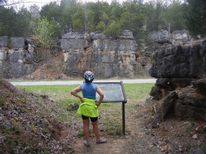
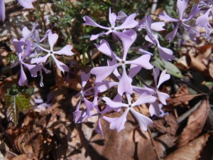
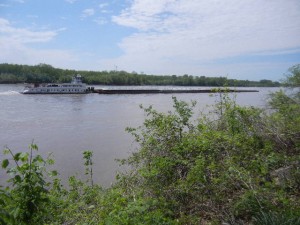
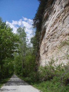
20 April:  From some of Missouri’s highest elevations we traveled to some of its lowest, along the banks of the Missouri River.  We biked a section of the Katy Trail, a linear state park stretching about 2/3 of the way from St. Louis west across the state on the former rail bed of the Missouri-Kansas-Texas line (the “M-K-T” railway).  This rail trail was championed and made possible through the efforts and generosity of Pat and Ted Jones (he was the founder of the Edward Jones investment company).  There are very good trailhead facilities at frequent intervals, with parking, restrooms, and attractive and informative kiosks.  The section we rode, from Rocheport about seven miles downriver, was nestled against towering cliffs of a long bluff along the north bank of the river.  A historical sign described the Louis and Clark expedition’s journey upriver through this area.  On the way back upriver, the cloudy day turned sunny and we pedaled by a barge motoring against the current (actually a powerful tugboat slowly pushing a raft of eight barges fastened together).  We could appreciate the feat of those early steam boats that traveled all the way up the Missouri as far as the Yellowstone River.  Returning to Rocheport we biked through the only tunnel on the Katy Trail and continued another three miles, along wetlands with many large turtles sunning on logs.  A few miles from Rocheport we stayed overnight at a very pleasant private campground, the grassy and shady Katy Roundhouse campground.DSCN6624 barging up the MissouriDSCN6630 purple flowersDSCN6633 Big Manitou Bluff