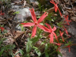
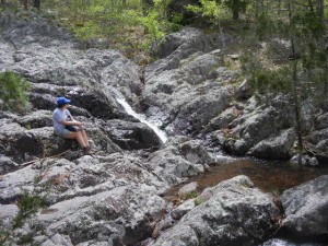
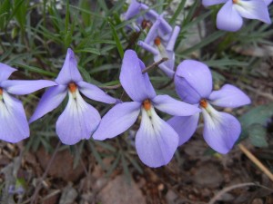
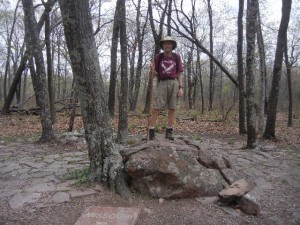
19 April: Last night and tonight we’re camped in the pleasant and very quiet (practically empty) Wild Boar Ridge campground in Mark Twain National Forest. Beautifully mild and clear weather. Whippoorwills serenaded us each night and the stars were very bright. Our hike was an easy three-mile loop starting at Missouri’s highest point, the 1773-foot-high Taum Sauk Mountain in the St. Francois Mountains (the Missouri section of the Ozarks), descending to Mina Sauk Falls, and returning by a different trail. These are very ancient mountains, with a lot of fine-grained pink granite and iron deposits. The terrain of this area is rolling hills and ridges. The woods have a rather sparse and stunted look to them, possibly because of shallow and poor soils, and probably occasional wildfires. We didn’t notice any old stone walls in the woods—apparently most farming and grazing has stayed in the valleys rather than up on the ridges. Mina Sauk Falls, where we ate lunch, was a very scenic stretch of cascades, small waterfalls, and pools in a rocky area. The top of Taum Sauk Mountain is such a broad, flat ridge that it would be very hard to tell where the highest point was if it weren’t for the paved path and granite marker proclaiming the location of the state’s highest point. Half of our loop hike coincided with the long-distance Ozark Trial. A variety of wildflowers were blooming along the way.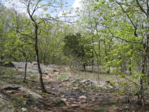
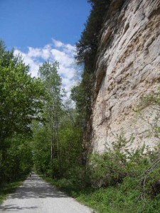
20 April: From some of Missouri’s highest elevations we traveled to some of its lowest, along the banks of the Missouri River. We biked a section of the Katy Trail, a linear state park stretching about 2/3 of the way from St. Louis west across the state on the former rail bed of the Missouri-Kansas-Texas line (the “M-K-T” railway). This rail trail was championed and made possible through the efforts and generosity of Pat and Ted Jones (he was the founder of the Edward Jones investment company). There are very good trailhead facilities at frequent intervals, with parking, restrooms, and attractive and informative kiosks. The section we rode, from Rocheport about seven miles downriver, was nestled against towering cliffs of a long bluff along the north bank of the river. A historical sign described the Louis and Clark expedition’s journey upriver through this area. On the way back upriver, the cloudy day turned sunny and we pedaled by a barge motoring against the current (actually a powerful tugboat slowly pushing a raft of eight barges fastened together). We could appreciate the feat of those early steam boats that traveled all the way up the Missouri as far as the Yellowstone River. Returning to Rocheport we biked through the only tunnel on the Katy Trail and continued another three miles, along wetlands with many large turtles sunning on logs. A few miles from Rocheport we stayed overnight at a very pleasant private campground, the grassy and shady Katy Roundhouse campground.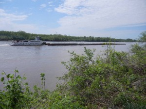

Hello from Dover– gray and cool here today, rain on the way for later today and Wed., 8/26…rode yesterday 22 miles – sunny and 60’s…Spring is trying to make its way to NH! Glad you are enjoying so many nice, interesting/unusual trails, parks, flowers, and making friends; now onward to Colorado! Continued best wishes for a safe trip and looking forward to seeing your granddaughter and family! Love to both from Janet, Mike, and Terry in NH 🙂
Beautiful