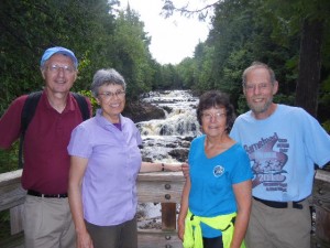
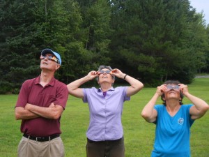
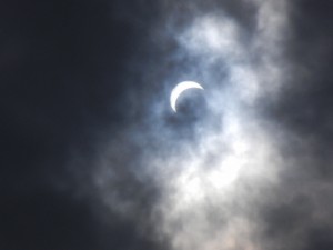
20-23 August: For our first time camping in Wisconsin, we hiked, biked, and visited with two of Amy’s college friends in the northern part of the state, which is mainly forested with a lot of lakes. We joined Ann & Gary, who live in St. Paul, Minn., at Copper Falls State Park. The park’s namesake waterfalls are indeed coppery colored, but that’s due to tannin in the water—the name actually reflects early copper mining activity in the area. The Bad River was able to erode a deep gorge, where the falls are, because the river follows cracks of a fault line. The Tyler Forks, however, had to cut across the fault cracks, so it was not eroded nearly so deeply and it plunges over a 30-foot waterfall where it enters the Bad River gorge. After viewing the falls we looked for the solar eclipse, which was about 80-90% in this area. It was totally overcast, but we got some brief glimpses of the narrow crescent of the sun through thin spots in the clouds.
We next relocated to the Spearhead Point campground on Mondeaux Flowage, located along the Ice Age Trail. This is a National Scenic Trail entirely within the state of Wisconsin that generally follows the terminal moraine of the last glaciation (the Wisconsin Glaciation). The afternoon we arrived we hiked in one direction on the Ice Age Trail (picking some blackberries for our next breakfast), and the next day we hiked in the other direction. For about seven miles, the trail follows the crest of an esker, a steep-sided ridge formed by a river depositing sand and gravel as it flows in a tunnel beneath the ice sheet. This section of the Ice Age Trail was very pleasant indeed.
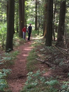
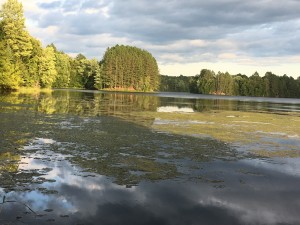
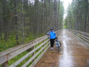
24-26 August: After Ann & Gary had left, we moved northeast to explore some more biking and hiking trails in Wisconsin’s north woods. This was once a thriving logging region, until most of the big white pines had been cut down. The forests are a mix of spruce, fir, hemlock, pine (mostly red pine nowadays), and hardwoods such as birch and maple. Most of Wisconsin’s farmland is farther south. The terrain is relatively flat and there are many lakes, making this a popular vacation area for people in cities like Milwaukee and Green Bay. We biked on the Bearskin State Trail, a bike trail on an old railroad grade. It has several trestle bridges, over the winding course of the Bearskin Creek and also over some of the many swampy and boggy areas. One time a locomotive and three cars derailed and tipped over beside the rail bed. Two cranes were brought in to attempt to haul them out of the bog, but one of the cranes also fell in and they had to give up. The crane, locomotive, and three cars have since sunken far below the surface (some bogs are as deep as 50 feet!).
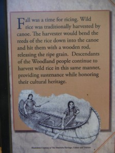
From our campsite on White Deer Lake we hiked around Luna and White Deer Lakes and also a bit of the Hidden Lakes Trail, to Butternut Lake. This area has yielded artifacts such as pottery and stone and copper tools of the Woodland people, also known as the Archaic Tradition, whose living descendants include the Annishinabe (Ojibwe), Menominee, Potawatomi, and other tribes.
After over four months of dry weather for all of our hiking and biking, our luck finally ran out on a bike ride on the Three Eagle Trail. After biking 12.7 miles from the north end in Eagle River to the south end in Three Lakes, it started to rain as we ate lunch before biking back and a steady drizzle continued the rest of the day. It was a fine ride nonetheless. This trail is partly a rail trail, partly a cross-country ski trail, and partly on quiet rural roads. It is mostly out of earshot of cars and passes through very pretty woods, with views of lakes and bogs.
