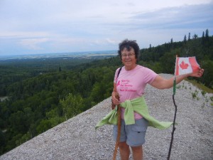
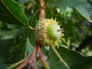
14-16 August: Another pretty full day of driving brought us the rest of the way through southern Saskatchewan (stopping in Regina to get Amy’s bike fixed) and into southwestern Manitoba, to Riding Mountain National Park. This park contains three major ecological zones: the Manitoba Escarpment, boreal forest, and aspen parkland. In the visitor center we watched three excellent videos, about moose, the weasel family, and the park itself. We drove to the eastern end of the park and hiked a trail up the escarpment to Bald Hill, a ridge with steep sides of loose shale, a sharp crest, and a fine view of the prairie in the distance below the escarpment. The trail up to Bald Hill and back followed the brink of a steep slope beside a stream valley cut into the escarpment, with many good outlooks. A short loop trail near the trailhead had interpretive signs naming and illustrating many of the local plants. The day was cloudy and mostly we were hiking among deciduous trees and shrubs, which gave us a distinct feeling that we were indeed well on our way home to New England after many spending most of the summer in the West.


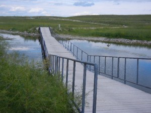
From Riding Mountain NP, we drove east across Manitoba farmlands to Birds Hill Provincial Park, a little northeast of Winnipeg. Our objective there was biking, and Birds Hill PP is great for that. There are many kilometers of both paved and unpaved bike paths. We wound through woods and fields, past a swimming beach and a lookout, and took the connector trail over a major highway on a bike bridge to the Duff Robin Parkway, which is a gravel bike path beside the floodway that was built to provide flood control for the Red River. In 1950, the Red River flood caused Canada’s worst natural disaster. The floodway that was built in the 1960s is a gated channel that allows floodwater to be diverted from the main channel of the Red River during extreme flood events. At the time it was built, it was the second largest earthmoving project in the world, second only to the Panama Canal. The system proved its worth in 1997, the year when a 100-year flood of the Red River devastated Grand Forks, S.D., and East Grand Forks, Minn., upstream of Winnipeg. The floodway was later improved to withstand even a worse flood than that. The connector trail that we rode crosses the floodway on a floating bridge that is open to biking except during flooding events when the floodway is in operation.
