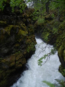
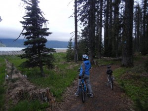
15 Jun: On our drive to the Crater Lake area, we stopped at a short interpretive trail in the Rogue River gorge. The Rogue River flows south in the valley west of Crater Lake. The present river bed is hundreds of feet higher than its ancient course, because the river valley has since been filled in by many successive lava flows. Now the river has started its work of carving a deep river valley all over again and has cut a very scenic gorge through layers of volcanic rock. We camped in the Umpqua National Forest at Diamond Lake and biked around the lake on the paved John Dellenback bike path. Spring was just coming to this area. Riding through swarms of newly-hatched midges was almost like being pelted by sleet. The lake level was high and a couple of sections of the trail were flooded, but only an inch or two and only for short distances. In a few places we had to walk the bikes across old snow drifts. Frogs were croaking. It made our ride interesting on this very attractive trail.
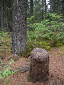
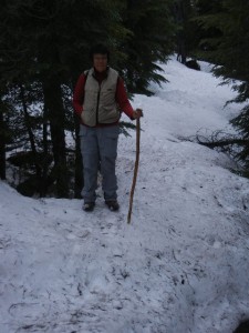
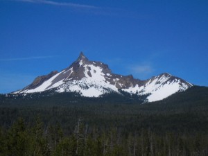
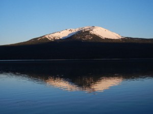
16 Jun: A cloudy day with sunny weather forecast for tomorrow, so we hiked near our campground, postponing our trip to Crater Lake for a day. We hiked east, away from the lake on the Howlock Mountain trail for a mile and turned south on the Spruce Ridge trail for another 2.5 miles. These are both used as cross-country ski trails in the winter and climb very gently through pleasant evergreen woods. We had partial views of Mount Bailey across the lake, though its summit was in the clouds. Diamond Lake is nestled between two volcanic peaks, Mt. Bailey and Mt. Thielsen. Bailey is rounded in profile, while Thielsen is extremely sharp peaked. This difference in appearance is because Bailey is much younger, having erupted near the end of the last ice age, and glaciers didn’t have enough time to carve a sharp peak and ridges the way they had on the much older Mt. Thielsen.
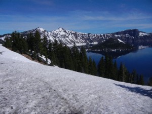
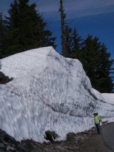
17 Jun: Beautiful clear weather. Up on the rim of Crater Lake, snow was still very deep. The 33-mile scenic rim drive was only open a little over a mile beyond Rim Village. Beyond that, snow removal crews had a lot of work ahead of them and road would not be completely open for a very long time. The north entrance to the park had not opened yet, either. Crater Lake was formed after Mount Mazama erupted explosively 7,700 years ago. Extensive lava flows emptied the magma chamber below, and the unsupported top of the mountain collapsed, leaving a caldera 4-6 miles wide and about 4,000 feet deep. Over the following centuries, rainfall and melting snow within it slowly accumulated to make what is now the deepest lake in the U.S. The lake has no streams flowing into or out of it. The water is exceptionally pure and appears deep blue because of its extreme clarity. We drove, then walked as far as allowed along the rim drive, enjoying the snowy scenery and views both inside the crater and off in the distance. Driving back to our campground on Diamond Lake, we stopped for a short hike down to the bottom of National Creek Falls (very pleasant trail switchbacking down among big old trees) and at a couple of viewpoints along the highway with signs explaining the views and volcanic history. We resolved to return to this area another year later in the season for more extensive hiking at higher elevations.
