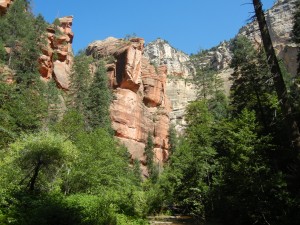
Day 65: In the morning we hiked up the West Fork of Oak Creek, near our campground north of Sedona. The trail was surprisingly well shaded, as it crossed and recrossed the creek many times under tall pine, oak, and Douglas fir trees at the bottom of the very high and narrow canyon.
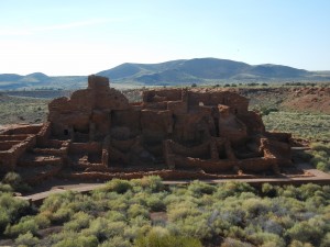
In the afternoon we explored two national monuments north of Flagstaff: Sunset Crater NM and Wupatki NM. Sunset Crater volcano erupted in the late 1000s and blanketed a wide area with cinders, lava, and ash, forcing the relocation of the Sinagua people living in the area. The extinct volcano is now a large cinder cone, with some lava flows and smaller cinder cones nearby. The Wupatki Ruin is the remains of a large pueblo-style village built in the early 1100s and occupied through the early 1200s. This was a multi-story complex on a sandstone outcrop in an arid plain, complete with a ball court and a kiva (round ceremonial structure).
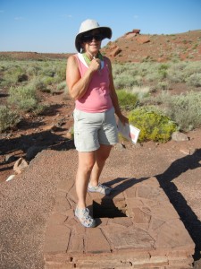
One unique feature there is the “blowhole,” a small opening to an underground limestone cavern below, through which the cave “breathes.” When the outside air pressure is lower than the air pressure inside, the air flows out (it was a nice cool stream of air on the hot day we visited, feeling just like an air conditioner).
Day 66: Walnut Canyon National Monument has another Sinagua ruin, but in a very different setting than the Honanki and Wupatki ruins we had previously visited. The canyon is narrow and twisting, with walls that are steep, but not vertical.
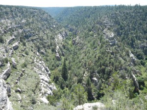
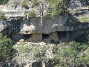
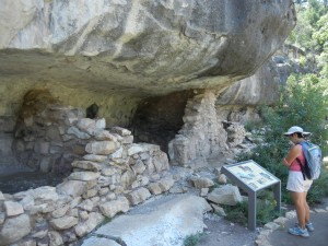
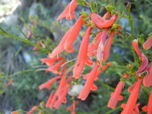
The adobe rooms built there are tucked inside natural alcoves formed when softer sandstone layers eroded faster than the harder overlying limestone layers. Farming was done on the forested plateau above the canyon. The canyon walls had varying sun exposure due to the meanders of the creek, so a very wide variety of native plants provided food, medicines, etc., to supplement the cultivated corn, squash, and beans.
Really these are so interesting to see. Love these pictures.