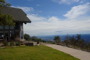
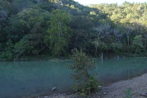
11-12 Oct: Back in Arkansas, this time in the Ozark National Forest. After a rainy night with warnings of severe thunderstorms (they fortunately didn’t come our way), we drove up Mount Magazine and went for a loop hike up Signal Hill on a self-guided nature trail in drizzle and fog. The summit (Arkansas’ highest point) is wooded, so we weren’t missing any views there. After our hike, however, the weather cleared beautifully and we had a great view as we sipped hot chocolate at the nearby restaurant at the state park’s lodge. Our next campsite was at Long Pool, a popular kayaking and rafting section of the Big Piney Creek National Scenic River. A river level gauge is fixed there so that people paddling or floating downriver can judge the difficulty of the approaching rapids under current conditions.


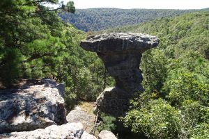
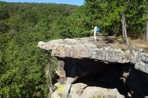
The next day we had a delightful hike on the Pedestal Rocks and King’s Bluff trails. These two loop trails start at the same trailhead, so they can be done in one continuous hike (as we did) or just one or the other loop for a shorter hike. Both loops follow the top edges of cliffs looking across and down on picturesque pedestal formations close by. This region in what is now northern Arkansas and southern Missouri was once an uplifted plateau of sedimentary rock (the “Ozark Plateau”). Weathering has been the main force creating the Ozark Mountains, whereas the Ouachita Mountains farther south, where we hiked a week ago, were formed primarily by folding and faulting.
