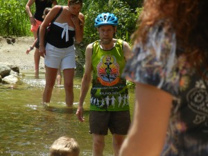
On back to back days we biked on delightful bike paths near two rivers flowing to two different oceans. The Mississippi River begins its long course to the Gulf of Mexico and the Atlantic at the outlet of Lake Itasca Lake in northern Minnesota, and the Red River forms the boundary between Minnesota and North Dakota on its way north to Hudson Bay and the Arctic Ocean. All four bike paths we rode on in Minnesota were paved, very scenic, and well maintained. While hiking in Itasca State Park we saw a bobcat.

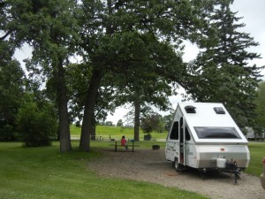
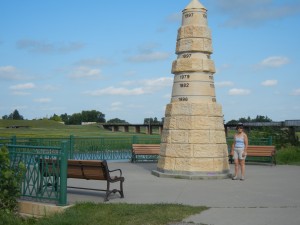
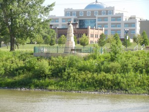
The drive between Itasca Lake and the Red River was a transition between wooded country of very tall white and red pine trees to pancake-flat open country. After the railroads reached Grand Forks in the early 1890s, wheat farming became big in the region. The huge flood of 1997 devastated downtown Grand Forks (N.D.) and East Grand Forks (Minn.) on the opposite banks of the Red River. The cities removed whole neighborhoods from the flood zone, replaced them with a beautiful greenway (parks, bike paths, and pedestrian bridges over the river), and built flood levees and flood walls outside the greenway. The loops in our campground were former city residential streets. The grassy slope in the background of the photo of our camper is the flood levee. Amy is standing next to an obelisk showing the height of the 1997 flood water in one photo, and the next photo from across the river shows how high the obelisk is above the normal water level.


I am enjoying your adventures and am quite envious. Have fun!